If you’re looking for the best hiking trails near Rockland and Camden Maine, you’ve come to the right place. Is there really anything more rewarding than heading out on a new trailhead and discovering where it leads? Whether expert or beginner, hiking in midcoast Maine may find you strolling a breakwater a mile out to sea, or weaving your way through bogs and marshland along a riverbank.
Of course, spring, summer, and fall seem to attract the most hikers to our bed and breakfast in Rockland, Maine. But winter sees its fair share of outdoor enthusiasts looking to snowshoe or cross-country ski our many nature trails. When asked to point out the best trails, we like to break them down into easy, moderate, and challenging. With so many trailheads so near to us, we also like to consider the type of terrain and the scenery to expect. So, break out your hiking boots and take a walk on the wild side of midcoast Maine.
If you like walking, try one of our many walking tours around town.
“Of all the paths you take in life, make sure a few of them are dirt.”
— John Muir
Our Favorite Easy Trails
- Rockland Breakwater Trail: Length: 1.9 miles, out and back. Granite block. Great place to watch boats in the harbor.
- Shoreline Trail: Harbor Park to South End Park: Length: 0.9 miles, out and back. Paved. An easy stroll along the water.
- Windjammer’s Wharf Path: Length: 0.3 miles, out and back. Paved. An accessible trail along the wharf.
Moderate Trails
- Oyster River Bog Trail: Length: 4.0 miles, out and back. Dirt. A pleasant walk through the woods.
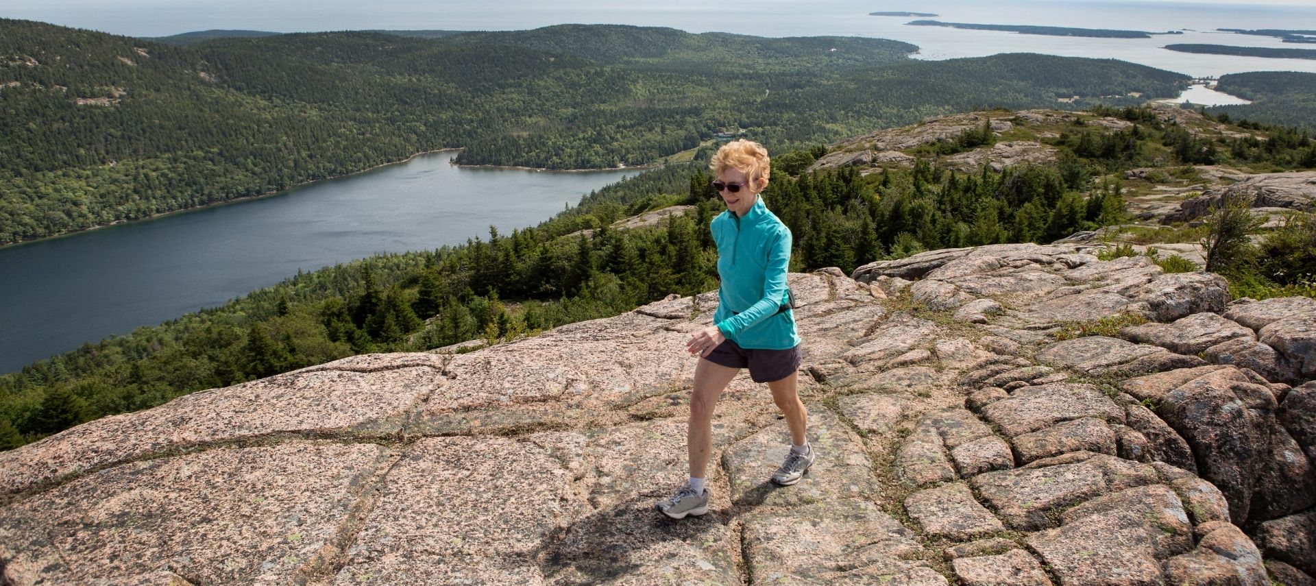
- Mount Battie Trail: Length: 1.9 miles, out and back. Dirt. Moderate trek to the summit, with some scrambling over rocks.
- Bald Mountain Trail: Length: 2.3 miles, out and back. Dirt. Fabulous views of Rangeley Lake and Saddleback Mountain.
More Challenging Trails
- Ragged Mountain Via Camden Snow Bowl: Length: 2.9 miles, out and back. Dirt. Beautiful views of the mountains and Penobscot Bay.
- Ridge Trail Via Maiden Cliff Loop: Length: 7.7 miles, loop. Dirt. Gorgeous views of Lake Megunticook and Penobscot Bay.
- Mount Megunticook, Maiden Cliff, and Mount Battie Loop: Length: 8.1 miles, loop. Dirt. Well maintained but challenging hike with rewarding views of Penobscot Bay.
Hiking Resources
Alltrails: For maps, directions, and more information about our midcoast Maine hiking trails, consult Alltrails. Offering insight into the best trails for hiking, mountain biking, climbing, and more, this is a great resource for anyone with a spirit of adventure.
Google Maps: Another great source of helpful information for hikers, Google Maps is our go-to for easy access to a regional view of trailheads and links to trail-specific info. User ratings for each trail provide insight on what to wear and how to prepare from recent trekkers.
Penobscot Bay Region Hiking
The Penobscot Bay region encompasses a host of other recreation areas that offer some spectacular hiking trails. For a description of what to expect when you venture forth to the Georges River Land Trust, Coastal Mountains Land Trust, Ragged Mountain Recreation Area, or Camden Hills State Park, read our blog, Hiking in Maine: The Penobscot Bay Region.
Where to Stay
At the end of a day spent hiking, a warm bath, cozy bed, and a slice of homemade pie await you at the Berry Manor Inn. For those of you seeking the best hiking trails near Rockland and Camden, ME, we invite you to stay with us. We set the standard for relaxed luxury and gracious hospitality. And that’s what memories are made of.
I shall be telling this with a sigh
Somewhere ages and ages hence:
Two roads diverged in a wood, and I—
I took the one less traveled by,
And that has made all the difference.
— Robert Frost
Published: April 2022


